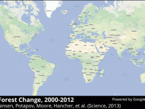
Using images from the NASA/U.S. Geological Survey Landsat 7 satellite, researchers from the University of Maryland and Google were able to map how the world’s forests have changed since 2000. The enormous computing feat produced the world’s first highly zoomable global deforestation map, enabling us to see where deforestation is taking place at the fastest… Continue reading See How the World’s Forests Have Changed Over Time With the First Detailed Global Deforestation Maps
