Just in time for the 2014 FIFA World Cup starting in Brazil next month, Google’s added a number of new transit routes to Google Maps – including information for every host city in Brazil. Now during the tournament futebol enthusiasts can find their way around more easily through the familiarity of Google Maps.
Besides extending deeper into Brazil, Google Maps has also added a number of new locations, including:
- Every transit route in Great Britain
- Real-time updates in Vancouver for transportation to Kits and Third Beach
- Real-time information on transit to and from Wrigley Field in Chicago

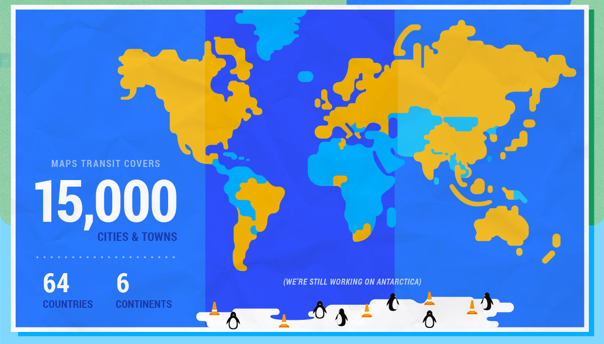
Currently Google Maps‘ transit data covers over 15,000 towns and cities in 64 countries around the world. Its services connect to 5,000 transportation authorities using 2.3 million train stations, bus stops, ferry terminals and more – and the service will continue to grow, according to Google Maps public transit product manager David Tattersall. “Google Maps will continue to improve — serving people the information they need to get around town when and where they need it,” Tattersall wrote.
Do you ever use Google Maps to navigate public transit?

